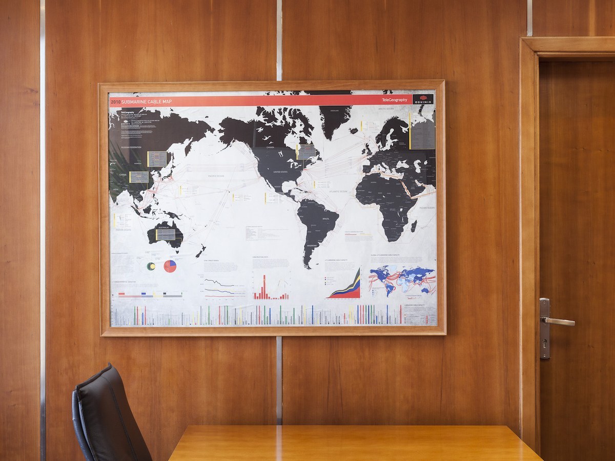
When you put your logo on one of TeleGeography's flagship maps, you're putting your logo in front of thousands of telecom decision-makers.
Every year these pieces are displayed in museums, distributed at major telecom conferences, and hung in offices and data centers around the globe.

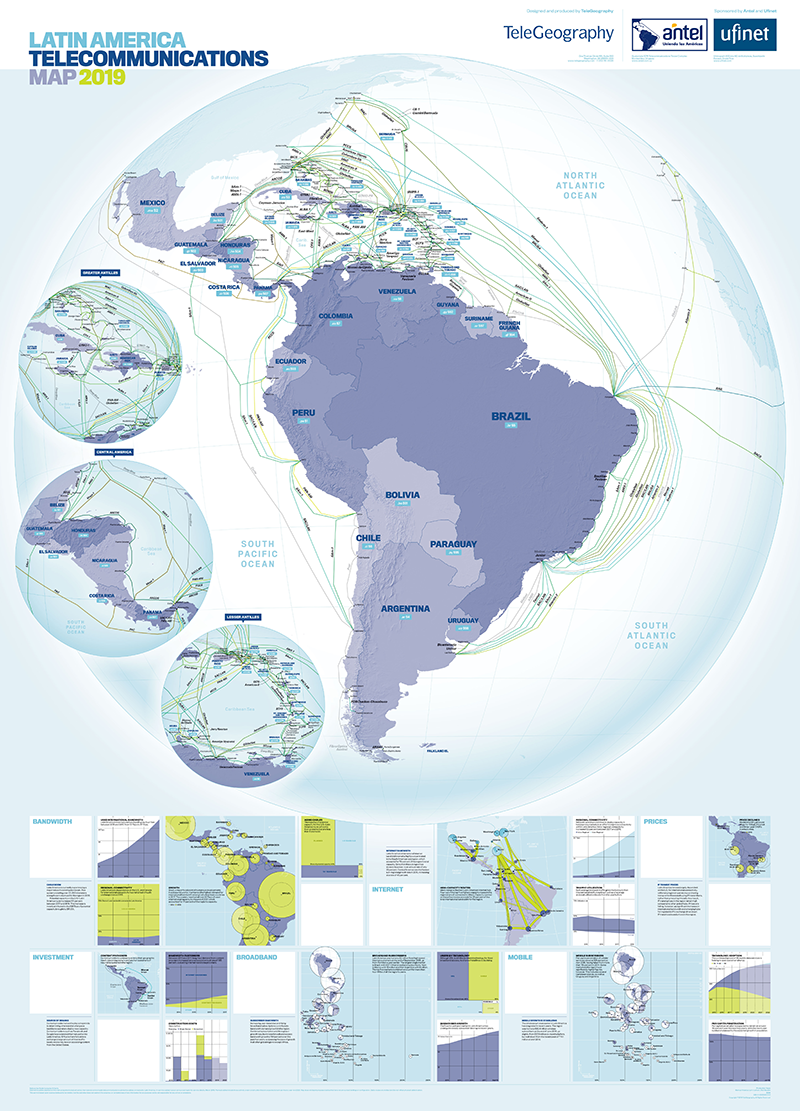
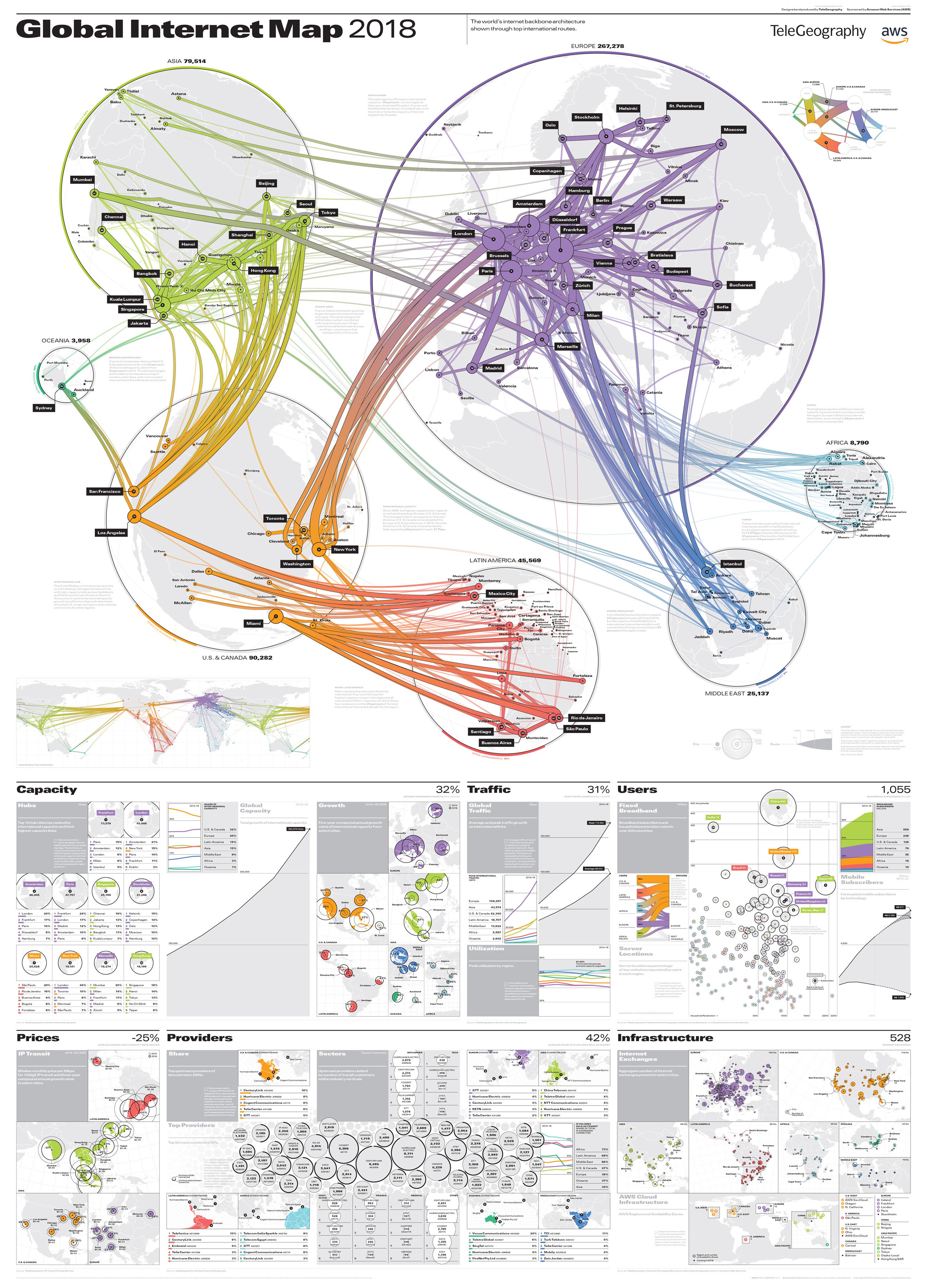
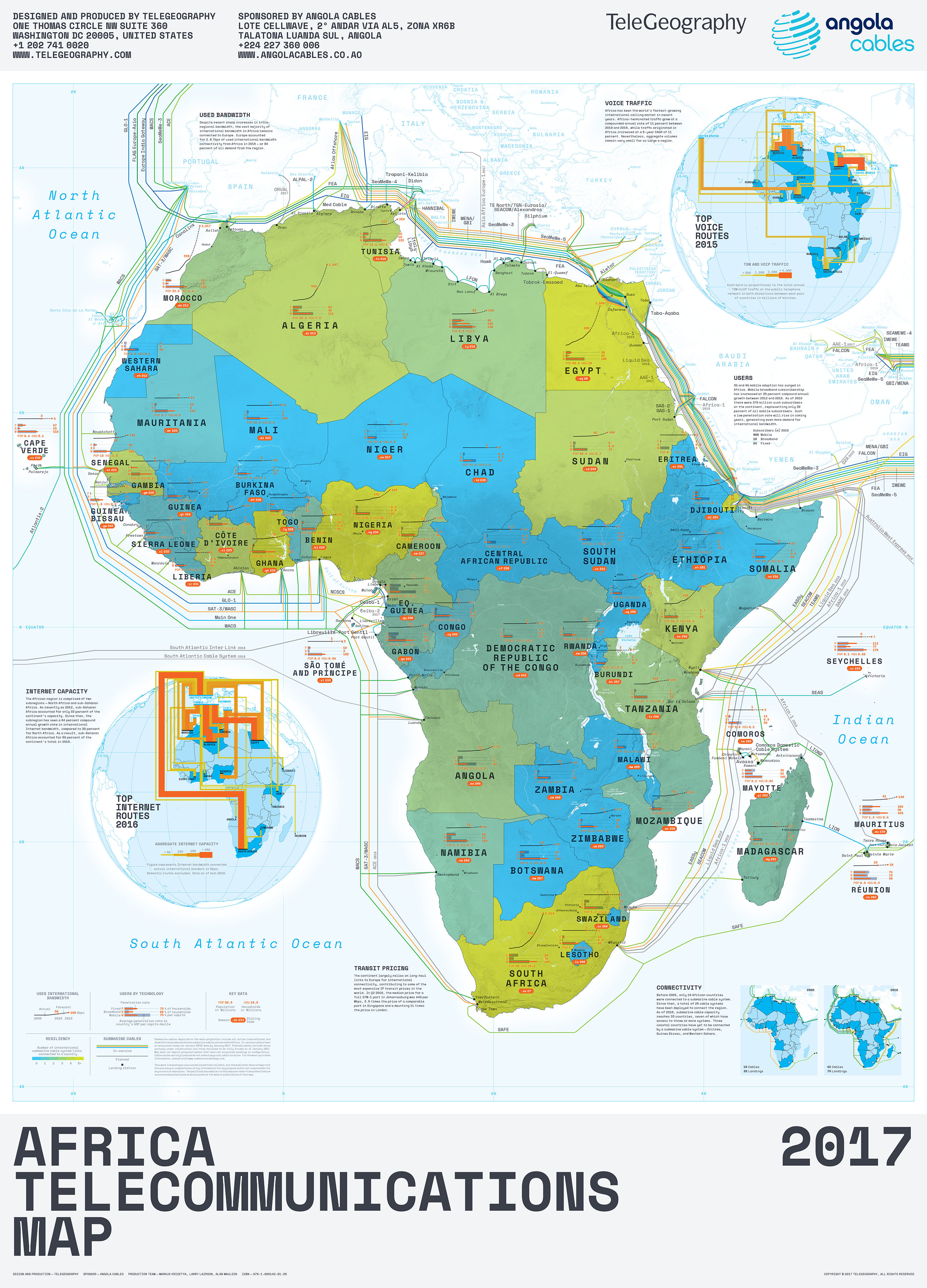


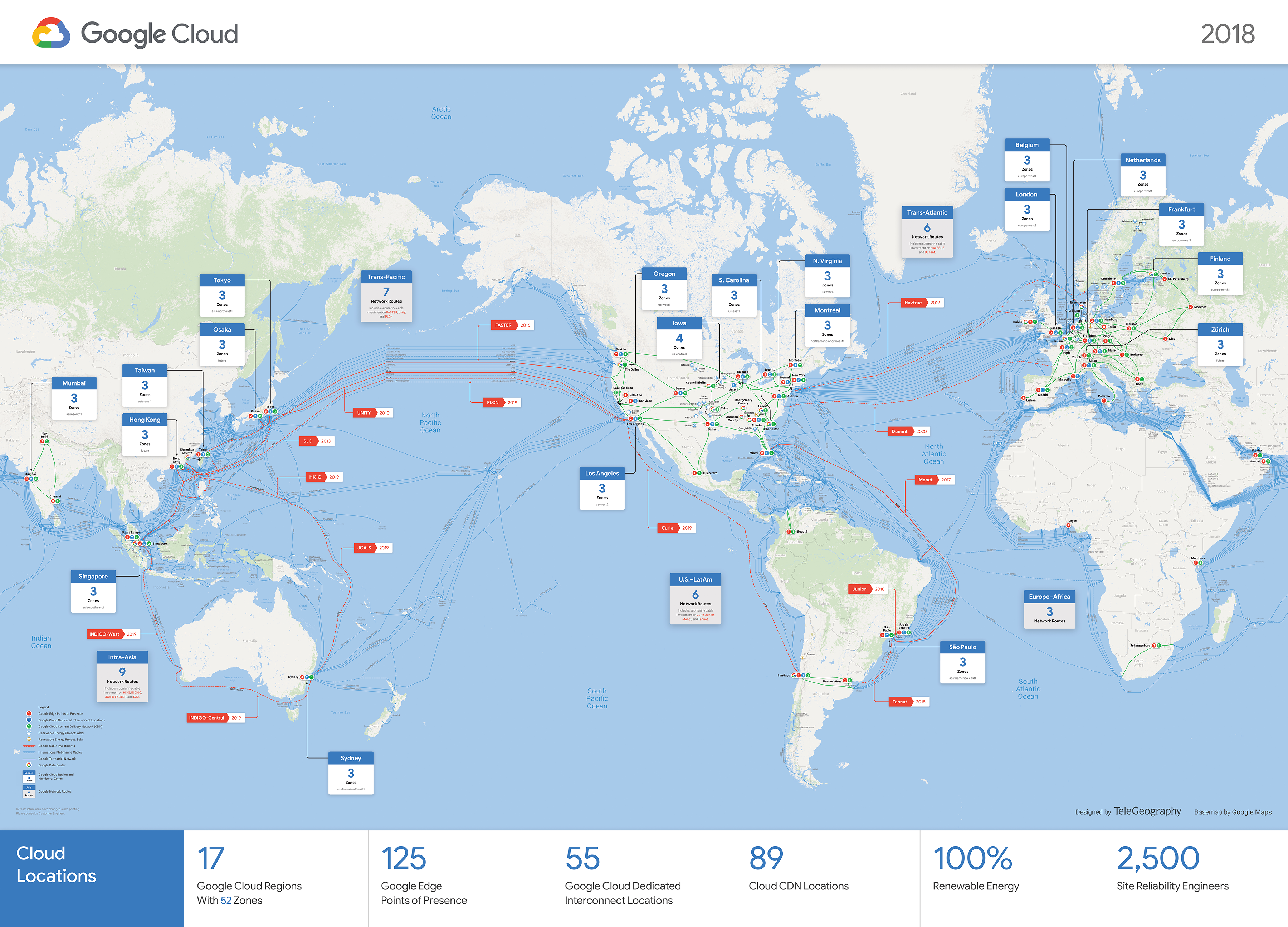
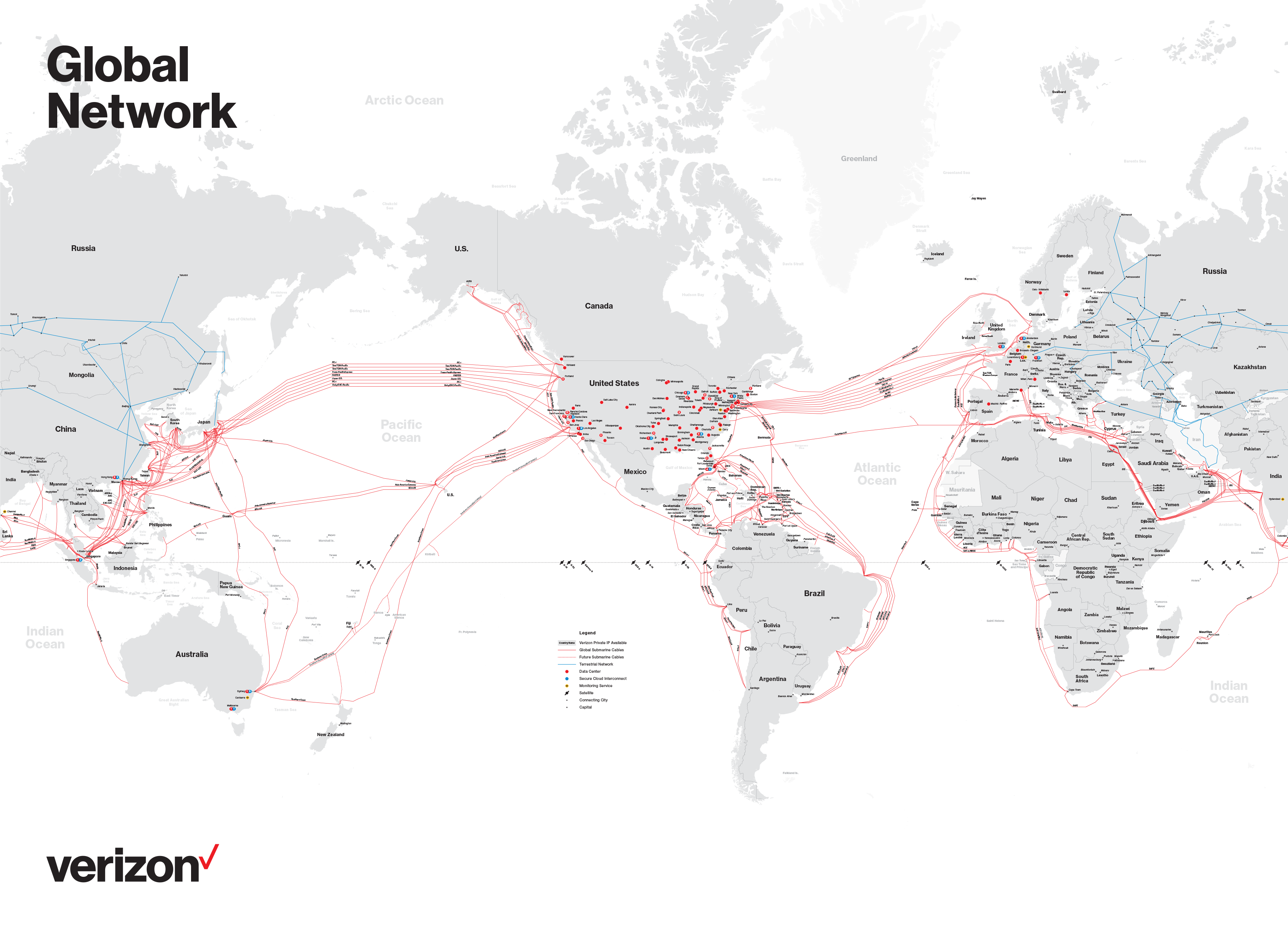
Picture this: you have a global network. And you need to represent the capabilities and worldwide presence of that network to customers and stakeholders alike.
This sounds like a job for a custom map.
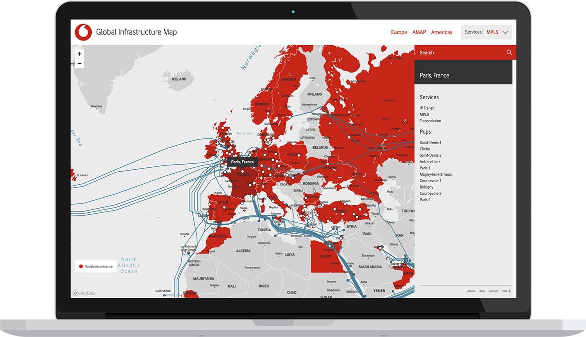
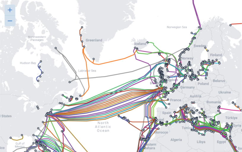
Our cartographers can design a map that showcases the data points that matter to you. This might be your network, region of interest, or key submarine cables. And it might be a printed piece for your office wall or an interactive depiction to add to your website.


We're talking uninterrupted access to our very latest insights, refreshed automatically on a rolling basis.
This offering is truly a game changer for your next project.

Maybe you're just looking for a gorgeous gift or quirky conversation starter to hang above your desk. We can help with that, too.
